Import / Export Raster Files
After downloading the data (See section Data), you can list all available raster files within the directory
climate_2000_2012, by using the module i.dr.import:
$ i.dr.input -p input_dir=/media/ibaris/Shared/Documents/NC_DATA/climate_2000_2012
Now you can see all files:
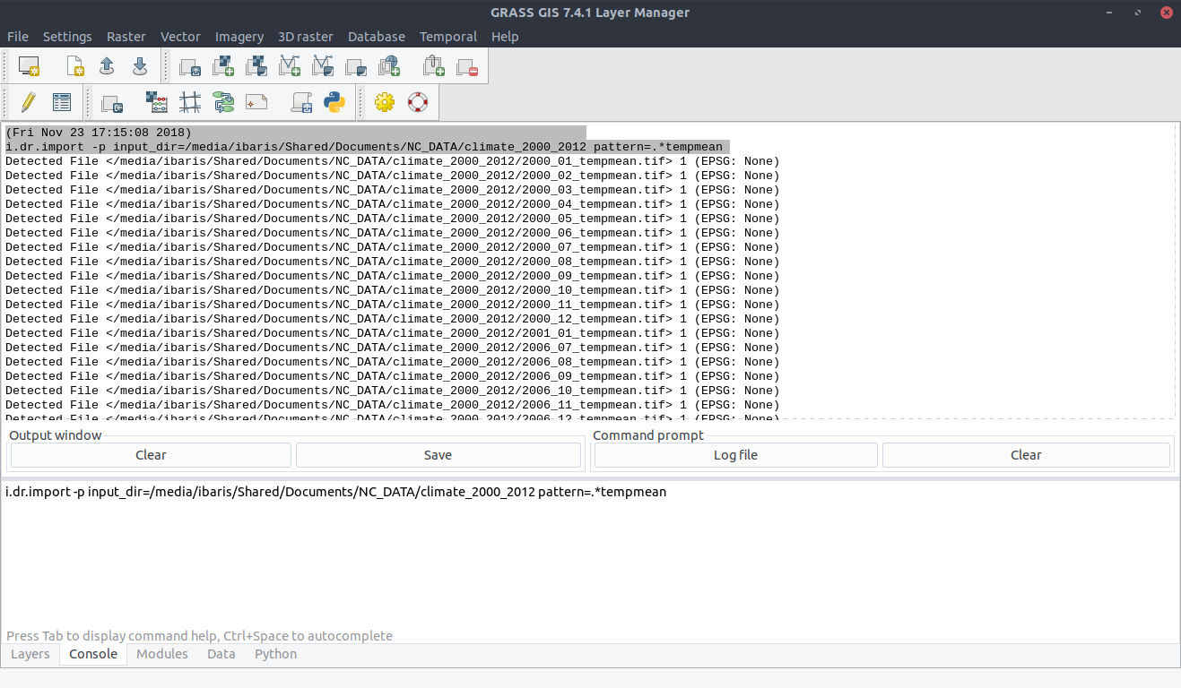
To show the pattern parameter of the module i.dr.import we want to consider only files that has the string
tempmean in their filenames:
$ i.dr.input -p input_dir=/media/ibaris/Shared/Documents/NC_DATA/climate_2000_2012 pattern=.*tempmean
With the command:
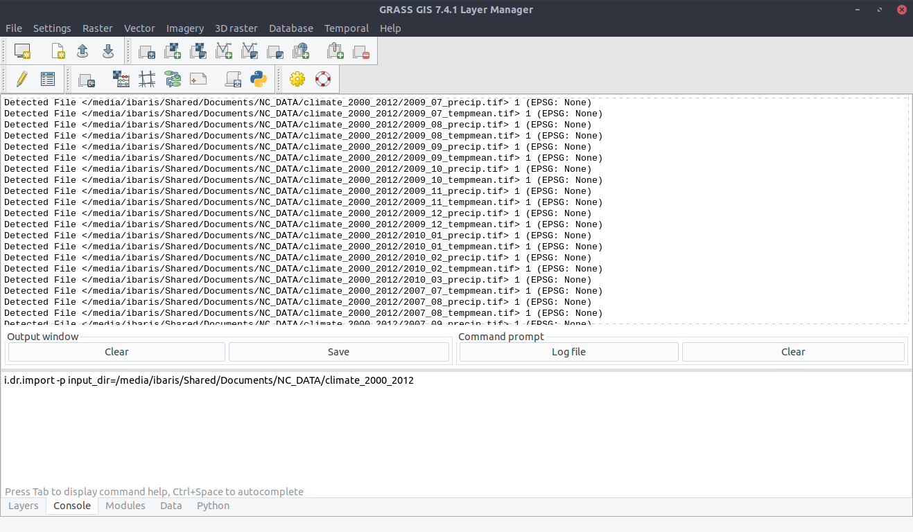
$ i.dr.input input_dir=/media/ibaris/Shared/Documents/NC_DATA/climate_2000_2012
you can import all raster files located in /media/ibaris/Shared/Documents/NC_DATA/climate_2000_2012. To be sure you can use the command:
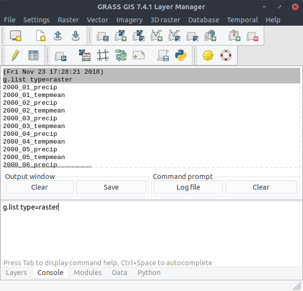
$ g.list type=raster
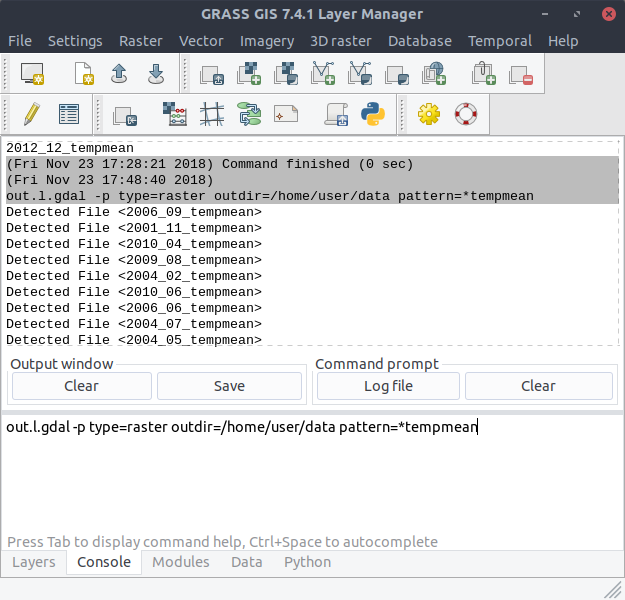
You could export all files with the command out.l.gdal like:
$ out.l.gdal type=raster outdir=/media/ibaris/Shared/Documents/NC_DATA/climate_2000_2012
With the flag: -p you can see the files that will be exported: